
From his OSINTUp session “How to analyze a video,” Josemonkey shares his top advice and provides insight into the geolocation techniques that helped him amass millions of followers.
Geolocation is a crucial research skill that combines observation, analytical thinking and sometimes a bit of coding. In the OSINTUp session titled “How to analyze a video,” geolocation expert and popular TikTok content creator Josemonkey shared his enlightening and practical insights on geolocating videos from the web.
Here are eight essential tips from his talk to help you improve your geolocation abilities for anyone looking to hone their skills in this crucial area of OSINT:
1. Start with observation and then categorize your findings
When first analyzing an image or video, resist the urge to jump straight to conclusions. Instead, Josemonkey recommends observing all elements and writing down every detail, no matter how insignificant it seems. When looking at the media for the first time, any of the following details can provide significant context to the image, including signs, text, landmarks, distinctive colors, types of vehicles, architecture and natural features. This critical comprehensive observation phase lays the foundation for subsequent steps, so be sure to note minor details that can become crucial later.
After making a list of all the observed details, Joemonkey categorizes them into two categories:
- Clues provide direct hints about the location and help identify a part of the world, country, or city. They are used at the start of the investigation to help narrow down to a more general location. Examples: license plates, identifiable landmarks, street signs or language on signs
- Details include specific, unique features that won’t directly identify a region or place. Details are not used at the start of the investigation but can be cross-referenced for verification later in the process. Examples: infrastructure, vegetation or weather
By distinguishing between these, your initial search becomes more focused and effective. It will help narrow down a general location, and the exact location can be confirmed accurately later on through details.
2. Analyze the orientation
Many images and videos appear mirrored from their original form, especially those taken in selfie mode. This can lead to misinterpretations, such as reversing landmarks or reading text backward. Deciding if the image or video needs to be flipped horizontally can correct this, allowing it to appear as it does in real life. Josemonkey highlights that sometimes, determining whether a video is reversed is not straightforward, but it is necessary to use tools like reverse search effectively. Reversed text or logos are telltale signs that can help determine if the video needs to be flipped.
3. Leverage sun position and shadows
The position of the sun and the direction of shadows in an image or video can provide valuable information about the time of day and the cardinal direction, significantly if the sun is rising or setting. Because the sun rises in the east and sets in the west, the camera's orientation can be determined by the sun’s location in a video or image. In higher latitudes, the angle of the shadows can also indicate the time of year. Josemonkey recommends using these natural indicators to narrow down potential locations. The tool SunCalc can also help determine a location based on the sun’s position in a video.
Watch an example of how Josemonkey uses the sun position:
4. Trust but verify your intuition
While intuition can guide you, verifying these gut feelings with concrete evidence is essential. Josemonkey explains that even experienced geolocators can go astray if they follow intuition mindlessly. Misinterpretations can easily lead investigators down rabbit holes, so it’s critical to back up intuitive guesses with solid data. Cross-check your initial assumptions with verifiable details in the video or photo to avoid heading down the wrong path. In addition, it is essential to verify any details from an image or video with accurate data. Referencing several different sources can help significantly verify details and decrease the chance of going down a rabbit hole, getting stuck or incorrectly identifying a location.
Here are a few tips for verification:
- Compare multiple sources: If your intuition points to a particular country or city, use various sources such as maps, weather data and local databases to find supporting evidence.
- Look for consistency: Verify that all observable details align with your hypothesis. For example, if you think a video is from a specific country, check if the language, signage and environmental features match.
- Utilize reverse image search: Use tools like Google Reverse Image Search to see if the same image or video has been identified or tagged with a location online.
5. Download and zoom in for details
Phone screens are limited when analyzing photos and videos, especially when viewing content on social media. Downloading a higher-quality video or image to view on a larger monitor allows you to zoom in on finer details that might be missed on a smaller screen. High-resolution images can reveal critical clues such as distant signs, small text or subtle differences in terrain. Josemonkey points out that viewing content on a larger scale can drastically improve the detail and accuracy of your observations. He also recommends using video and photo editing tools to manipulate aspects like contrast to make less noticeable details more prominent. If the image or video requires more time and attention to geolocate, view the content from all orientations and viewpoints to ensure you don’t miss any critical details.
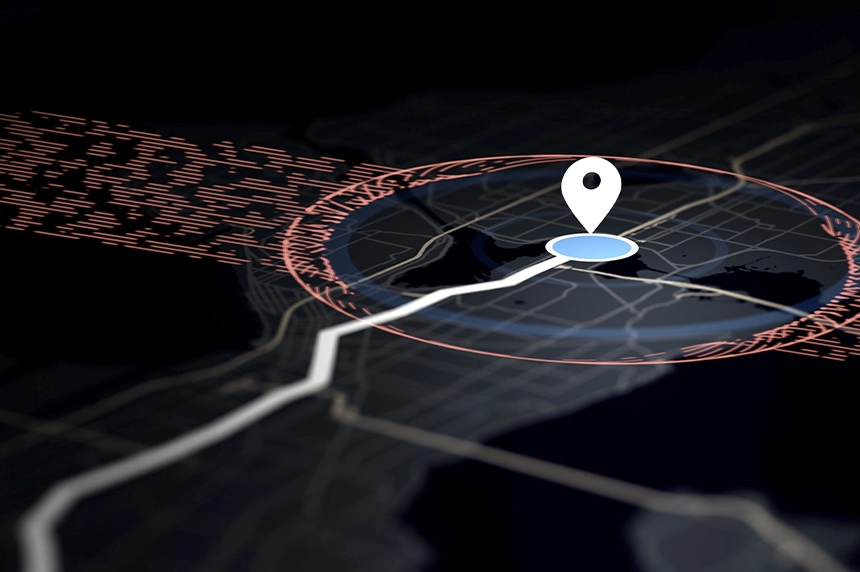
6. Use OpenStreetMap for data mining
OpenStreetMap (OSM) is a valuable resource for geolocation, helping narrow down locations within a specific region or area. Josemonkey uses a query language called Overpass to mine data from OSM. This allows him to search for features within a certain radius, such as finding all CVS stores near a specific water tower. It is important to note that a complete reliance on tools when geolocating is ineffective as sometimes databases can be outdated with inaccurate data. However, tools like Overpass can significantly enhance your ability to narrow search areas based on specific criteria.
Check out this video where Josemonkey uses Overpass:
7. Incorporate contextual clues
Contextual clues such as accents, clothing styles, vegetation and weather conditions can provide valuable insights into geographical regions. For instance, specific plant species, distinctive road markings, unique phone number formats and particular architectural styles can help identify specific areas. Accents and languages spoken in a video can also further narrow down the region or country. Combining these contextual elements with visual clues significantly enhances your geolocation accuracy. Understanding and integrating these subtle details into your analysis sharpens your ability to pinpoint locations and enriches your knowledge of the diverse characteristics that define different parts of the world.
8. Take the side quest
Geolocation is rich with endless learning opportunities. Josemonkey fondly refers to these unintended learning experiences as "side quests" that arise while researching. Embrace these moments rather than dismissing them. While staying focused on the primary mission of finding the location is crucial, don't hesitate to explore. These side quests often lead to discovering the location and broadening your knowledge about the world—a true win-win!
Josemonkey’s session on analyzing videos for geolocation for the online skill-sharing event OSINTUp dives in-depth into the different strategies, rabbit holes and clues to find a location. He is a wildly popular content creator, an online privacy and safety advocate and an amateur OSINT researcher. While he has no formal training or professional experience in the field, he has been an avid geolocation hobbyist for over ten years. Most people know him from his videos in which he pinpoints the location where user-submitted videos were recorded based on the clues he observes. For each video, he explains his approach to figuring out that specific location and what information and tools he used. You can find him on TikTok, YouTube, X and his website, josemonkey.com.
Enjoyed Josemonkey’s OSINTUp session? Check out this NeedleStack episode for more discussions on GEOINT!
Tags OSINT research